The Cambie corridor: Cambie Village, Queen Elizabeth Park and the Canada Line
Lifestyle
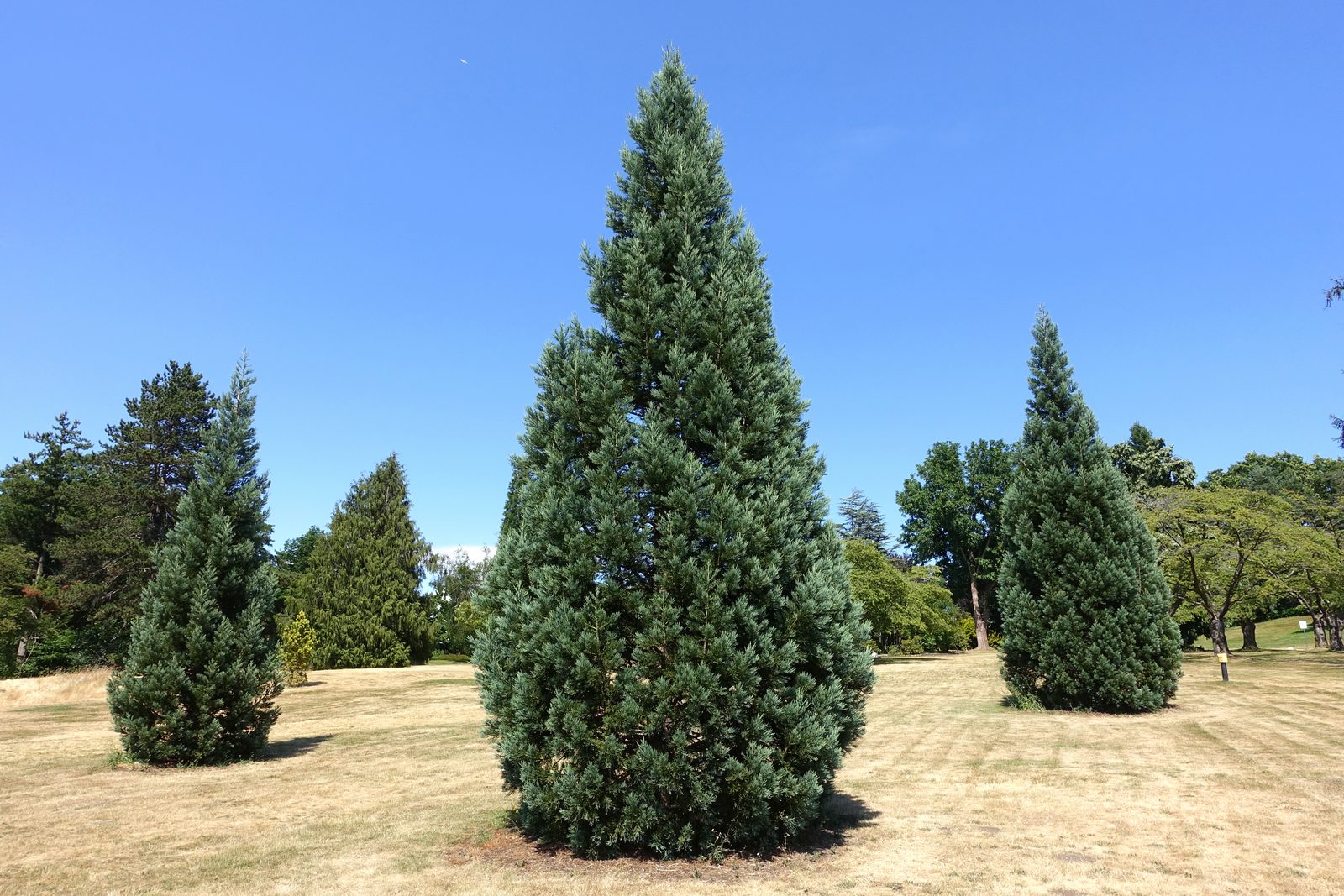
Cambie is the West Side’s central spine: a broad, tree-lined boulevard running from False Creek to the Fraser, with Cambie Village’s cafés at 18th, Queen Elizabeth Park crowning the hill at 33rd, and the Canada Line underneath it all. The Cambie Corridor Plan has made it the city’s showcase for gentle, transit-oriented growth.
Schools
Sir Winston Churchill Secondary and Eric Hamber Secondary flank the corridor; York House and Crofton House are minutes west, and King Edward station puts UBC and downtown on one train line in opposite directions.
Parks & recreation
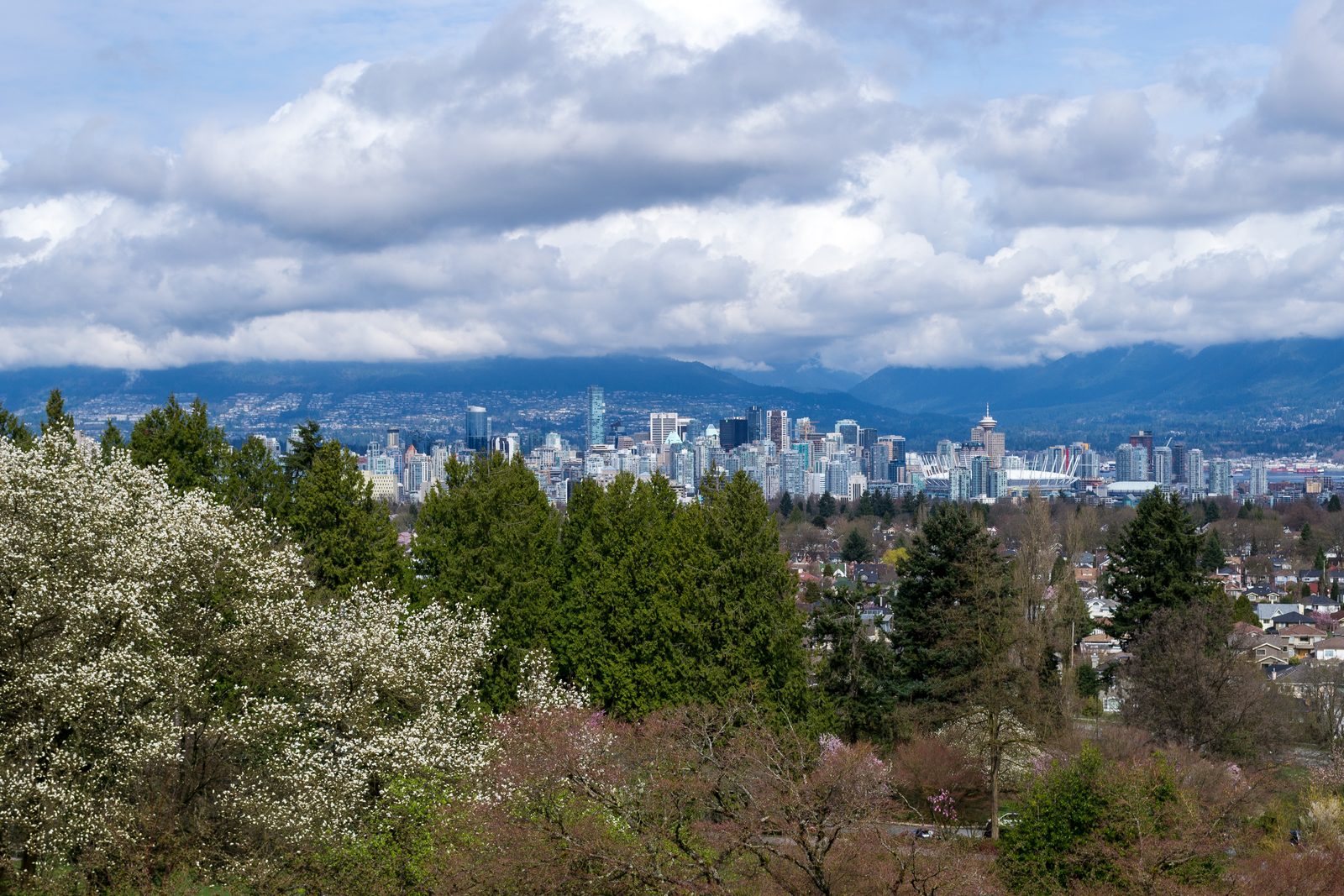
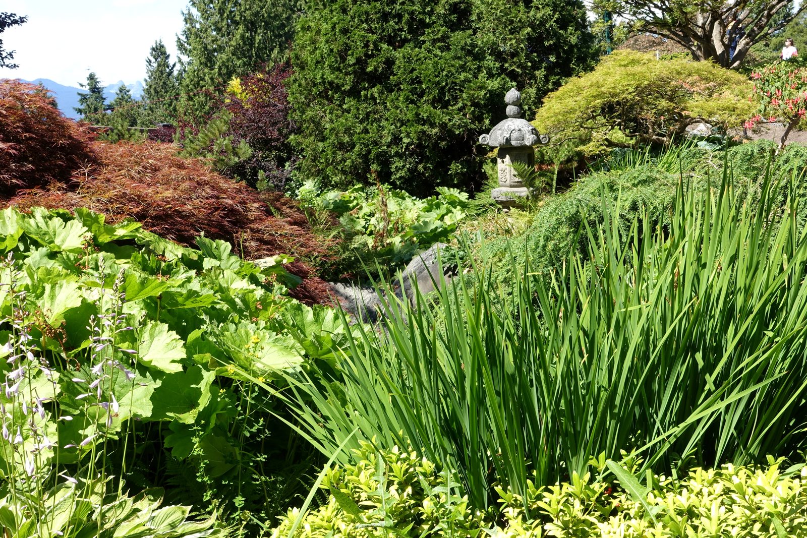
Queen Elizabeth Park is the city’s garden showpiece — the Bloedel Conservatory, quarry gardens and the highest point in Vancouver with its postcard view. VanDusen Botanical Garden is just west at Oak Street, and Douglas Park’s community centre serves the north end.
Shopping & dining
Cambie Village (17th–19th) has the beloved Park Theatre, cafés and neighbourhood shops; Oakridge Centre’s major redevelopment is rising at 41st, set to become the West Side’s biggest retail destination.
Housing
The corridor mixes it all: condo and townhome developments along Cambie itself (many nearly new), and established single-family streets a block or two off the boulevard. Few Vancouver neighbourhoods offer this range — first condo to family house — inside one postal code cluster.
Photos via Wikimedia Commons: Queen_Elizabeth_Park_-_Vancouver,_Canada_-_DSC07461.JPG; Vancouver_from_Queen_Elizabeth_Park.jpg; Queen_Elizabeth_Park_-_Vancouver,_Canada_-_DSC07465.JPG.